"Do the Right Thing" had just finished up.
Mookie obviously didn't do the right thing, but can his actions be justified? The
MLK quote says no but the Malcolm X quote leaves room for interpretation. Obviously
Mookie could have prevented the shit-show, but does yelling "hate" absolve him? White people get to ski on Dr. King's B-day so I'm going with his theories. Oh, I get it; the movie is
spoda make you think. 2 stars. I hope
Netflix doesn't start recommending racist movies. Ring, ring.
It's Bass. Parental obligations have limited his free time and at 10:30 PM he has a small window between feedings. The moon was full, the night was clear, and it was his B-day. "I'll pick you up in 20, Dave." We headed to
Hiland Road in Eagle River and parked at the State Park
trailhead and were skinning by 11:30 PM. It brought back memories of Alfie's. Where were the cats? Oh, that's right; shift change at midnight.
We topped out around 12:30 AM and Anchorage was twinkling below. Dave dropped in and I followed. The snow was excellent, but the base was lacking. The moon was bright, but not bright enough to pick out the rocks. Another foot or so, and Eagle River will be much more fun.

Anchorage
When you wake up in AK in November and it's light, you screwed up: daylight is extremely limited. Darn! Shoot! Dag! After a quick
RBGC I was speeding South to
Turnagain Pass. Fog on the inlet, bluebird up high. The
Turnagain Pass user area is split in two: east is non-motorized, west is snow-machine friendly. Currently, there is not enough snow at road level to accommodate our motorized friends. This would be a good opportunity to check out the west.
I parked at the gated entrance to Granite Creek just South of the Johnson Pass trail head. I espied a skinner heading up the non-motorized side. Perfect. I was expecting 2,500'
vert. Why? Don't know. Ignorance, stupidity, callousness, fever? Probably some sort of combo. 4,300' later I topped out. Holy
moly! I compared my elevation to other peaks in the area that I was familiar with. How had I missed Peak 4940? This is the highest peak at
Turnagain and it has 3 sides of 4,000'+ continuous skiing. The west side brings you into a massive bowl and chute system that goes straight down to the road, but I couldn't see the middle section. East would get you back down into the
Turnagain Pass area near Bertha Creek. Heading south would keep me in the light and retrace the ascent. I wanted the west side, but I was alone and daylight could end up being a factor. So I choose south.

The Bottom 2/3 (Ascent via the Gully on the Right)

Looking Down the Pass towards the Turnagain Arm

Entering the Couloir
The snow was variable. The top was carvy styrofoam, great for carrying speed and arcing turns. Eventually it was time to enter the couloir. There were still some pockets of recycled powder hiding in the nooks, but mostly it was supportable crust and frozen roller balls. The runout was pretty good too. I came across this area by accident and really had a fun day of exploring, but when I return it will be no mistake. I want the west!
- Gerald "Coop" Cooperberg
Naming Update:
I was skiing the TT43 (Terrain Trap 43) area. The State refers to the South gully that I ascended as "Slide Path 4.3." See Plate 3.
http://dggs.alaska.gov/pubs/id/2255
Avalanche Mapping refers to this as "62 Mile".
http://www.avalanchemapping.org/Avatlas.htm
There is some confusion as to what exactly TT43 refers to. It may refer to the South Face that I ascended/descended (Slide Path 4.3 / 62 Mile). It could refer to the West bowl /couloir system that starts at the summit of Peak 4940. The West Bowl area is definitely the most aesthetic ski run off of Peak 4940, and since this slide path does not impact the road, the state hasn't given it a name (a far as I can tell).
It anyone can clear this up, please leave a comment.
Thanks.
 This is a classic shot of a skier boy Adam Lawton setting the booter up the exposed East ridge of Superior. We opened the S Face at the crack of noon. The snow was sluffy and beautifully soft just wish the visibilty was as clearer.
 Skier on the lower shot of N chute on Lake Peak in White Pine. We ascended this way and skied the more E chute from the summit.
 Chris fish dropping in to the NE chute avoiding any rock lobsters. It was a beautiful day in White Pine. The last blue sky day before it began to puke.
 This was our clan for the day. After Lake Peak we went across to the Tri chutes and Birthday bowls to ski some more deep pow under blue bird skies. An unfortunate party attempted to race Todd to the top and had to settle for the right Tri chute as they watched Todd snake the cherry pickings.
 Celebrating the coming of winter in White Pine!
 Fraser and Olivia drove up from Ridgeway, CO to ski this storm. Some gusty winds weren't gonna stop them from having a taste test.
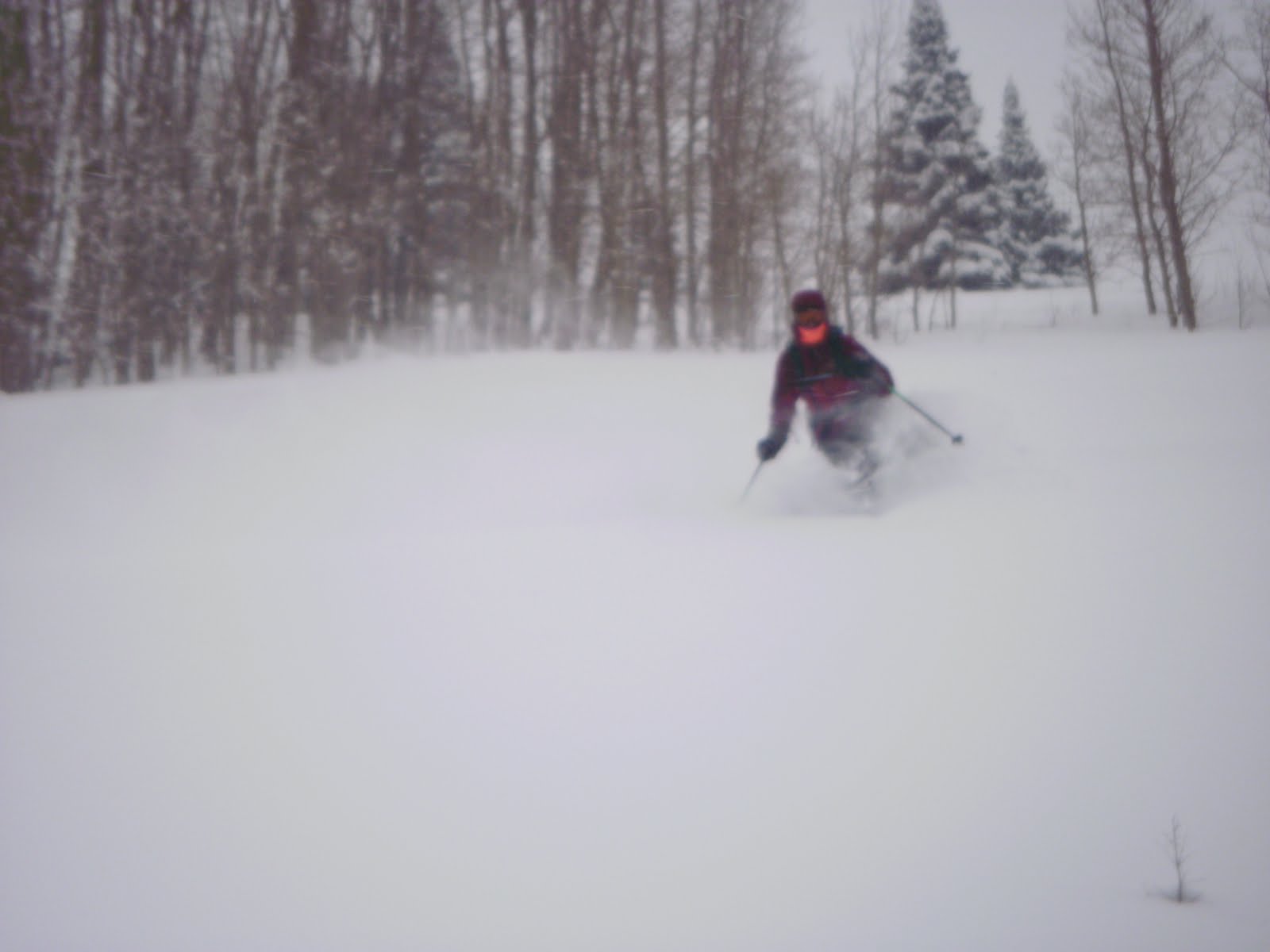 "Its definetly drier and deeper than Co" Fraser adds after a sampling in Willow meadow.
 Matoosh Matook taking in what the Wapan has to offer on high danger days.
 Bouncing Beattie enjoying every day he gets out.


 South Face of Manitoba
  South Face of Silver Tip


