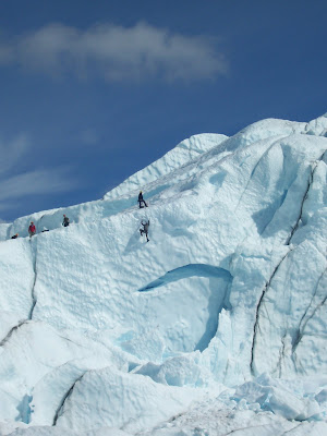


 This shot is from Duncans Ridge. The big peak in the back is the Devils Bedstead.
 The Pioneer Yurt is a 24 ’ diameter yurt that sleeps up to 16 people and has all the comforts you have come to expect from a cozy SVT backcountry hut: full kitchen, bunks with pads, wood and propane stoves, lanterns, library, and a great wood fired Sauna!
 If you come in the spring expect water crossings and wet heavy snow in the low elevations on your trek up to the Yurt.

 We called this peak No Name because on the maps we had it didn't have a name.
 Mckenna getting the first track down the Comma Couloir down Cobb.
 Axel carving his name in Cobb mountain.
 Back on the deck of the Pio Yurt just chilling.


You Might think sleds make skiing easier.
Could have just walk right over that tree and had running shoes on for the mile of dirt and rocks that made the sleds run a little hot.
But once you get up to the peaks the mountains make all your trouble's go away.
This is looking down that north chute. On the right in thed picture above.
We where on are way to the Comma chute on Cobb mountain so we passed up that north chute.
This is a little freerider zone we found we could lap with the sleds.
All of the sleds on this trip had a roll or two. Some hit trees and some hit rocks.
Lunch!
This is the north chute of Cobb. We had our sights set on this so even with the firm conditions some of us still wanted to ski it.
A good family meal after a long day.
Just a quick update will add more info and picks soon.
Peace Crossman.
Check out the trailing arms on this sled. Hurricane ties a hammer an a nail to get there lag bolts into the aluminium to brace where they both broke.

